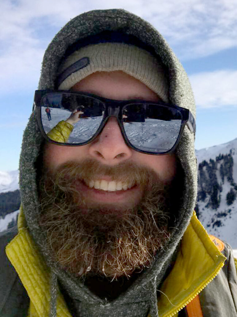
 Matthew Semrau is a survey technician and licensed UAS Pilot. Matthew has been working in the land surveying industry for the past 7 years both in the field and office. Matthew was one of the first surveyors to employ the Pix4d and Carlson Precision survey software for aerial photographic survey with aerial drones.
Matthew Semrau – Drone Pilot & Project Surveyor
 Matthew Semrau is a survey technician and licensed UAS Pilot. Matthew has been working in the land surveying industry for the past 7 years both in the field and office. Matthew was one of the first surveyors to employ the Pix4d and Carlson Precision survey software for aerial photographic survey with aerial drones.